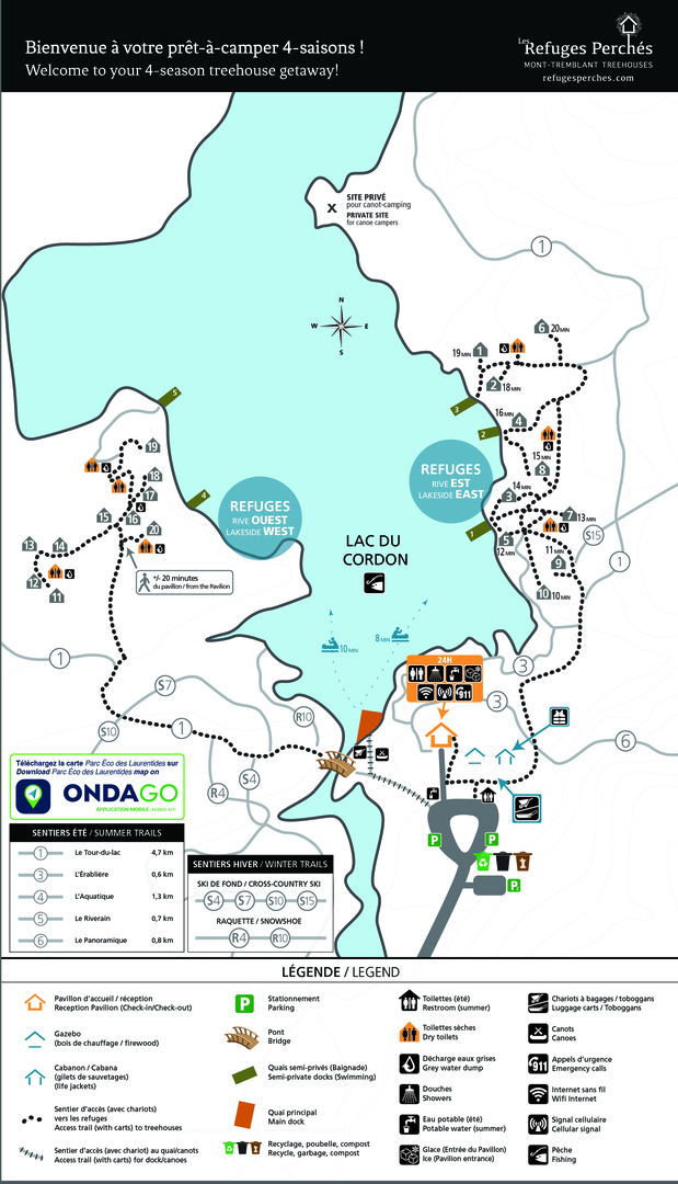
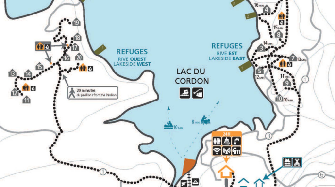
Site map of Les Refuges Perchés
Find all the details of the Refuges Perchés site on our personalized map.
What our reception area looks like
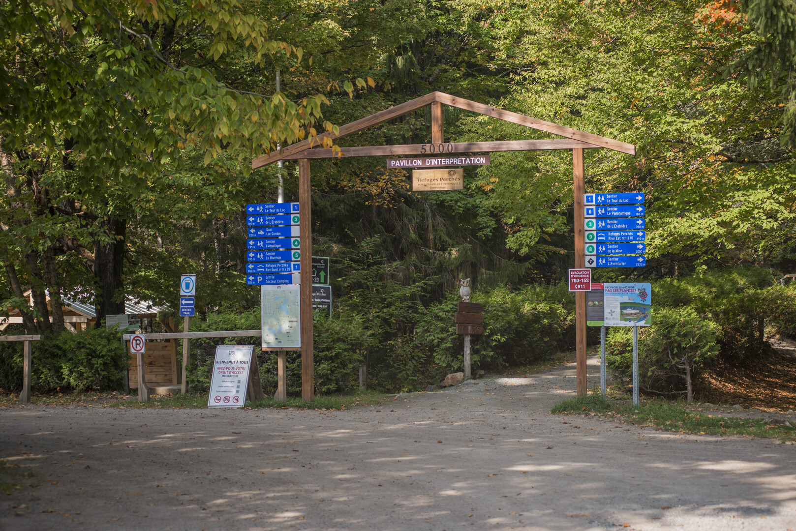
When you arrive at the parking lot, you’ll see 2 entrances for trailheads, east and west, and a walkway leading to the Pavilion reception building.
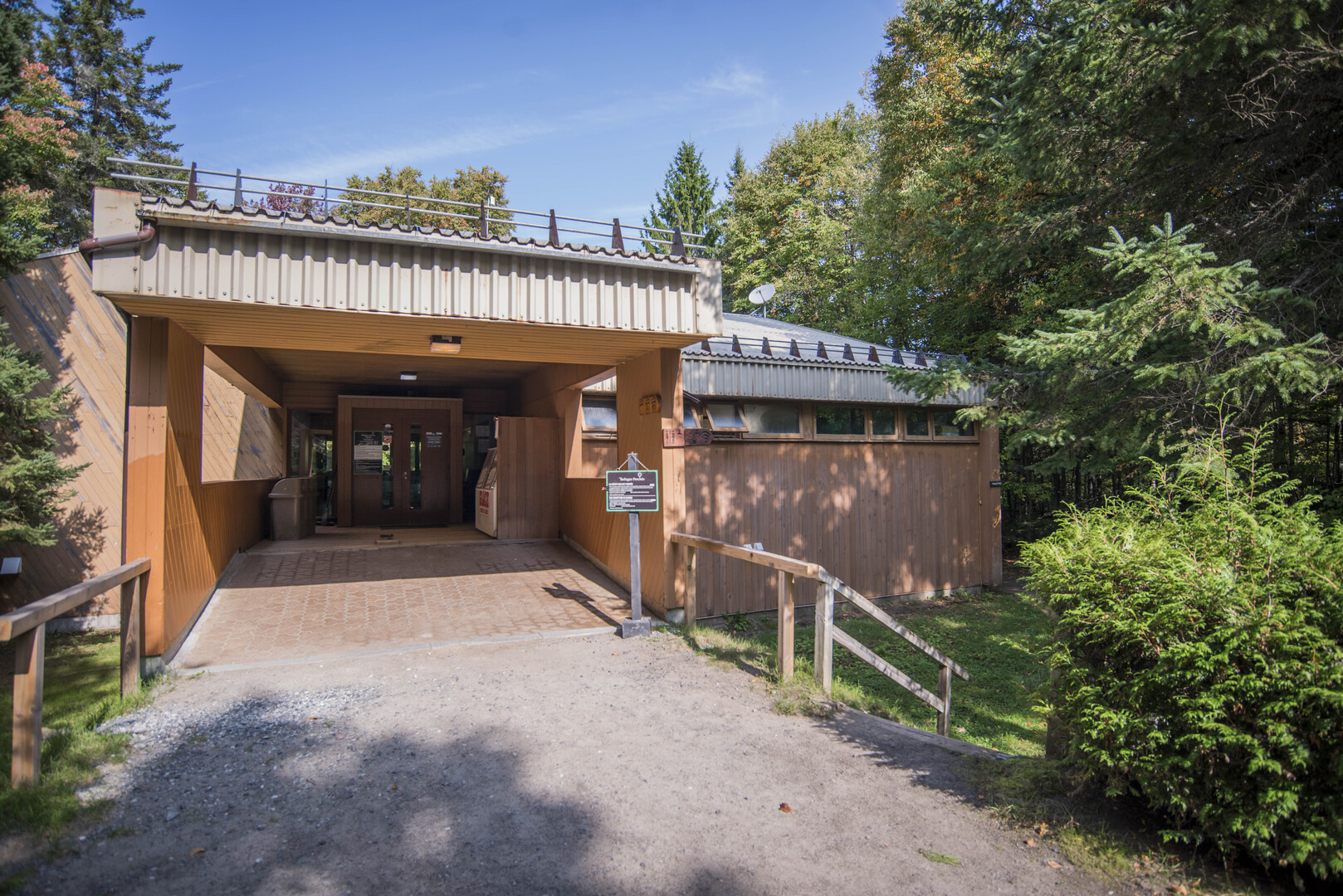
Visit us at the Pavilion reception.
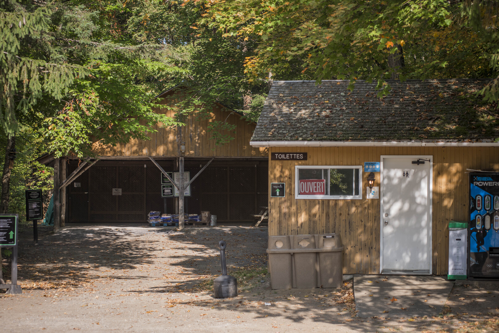
Under the gazebo, you have access to firewood and toboggans (winter).
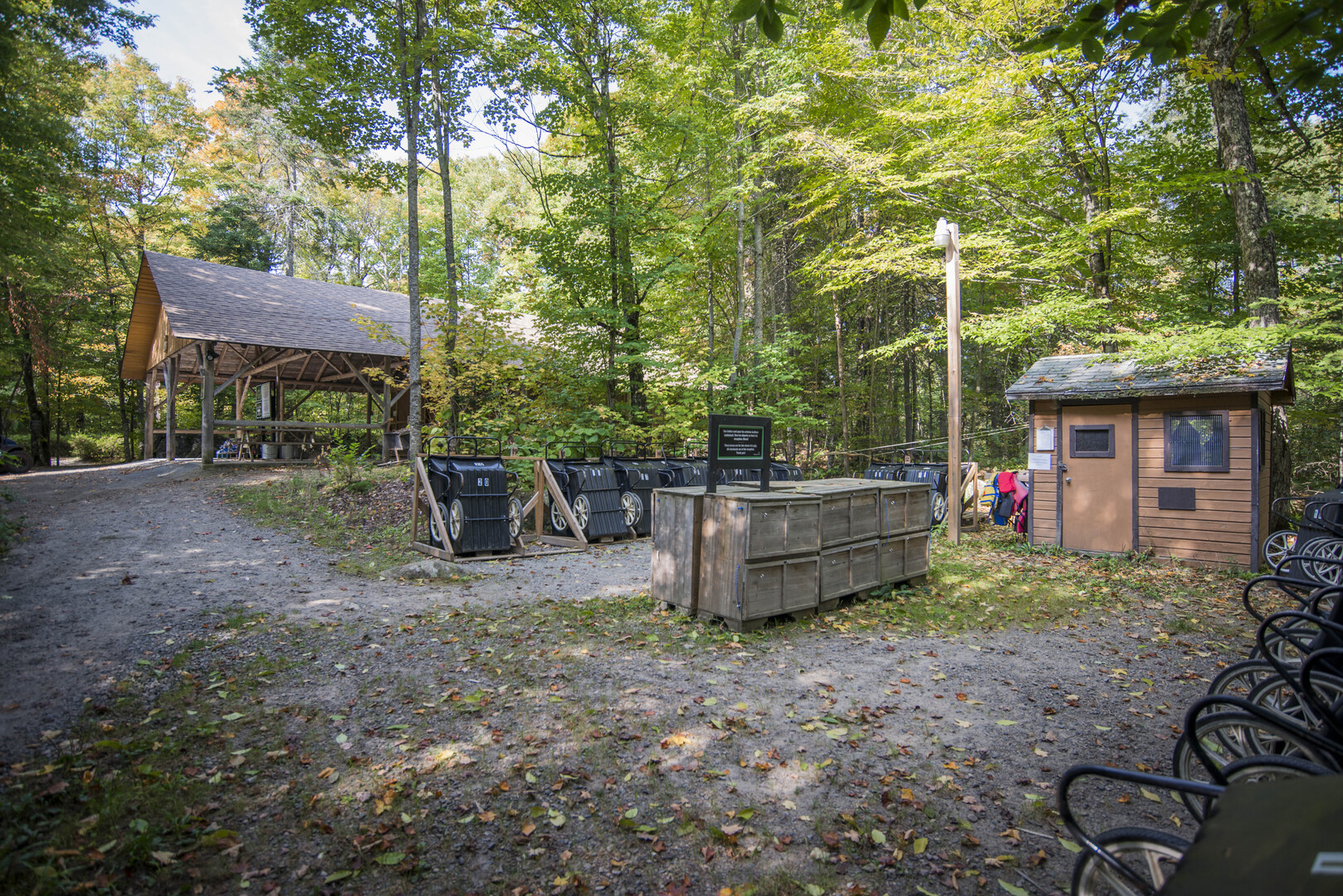
Carts are available to the right of the gazebo, as is the cabana where you’ll find life jackets.
Map of Parc Éco-Laurentides
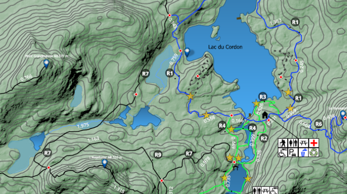
Parc Éco-Laurentides is a 2,000-acre natural territory located near Mont-Tremblant in the Laurentians, Quebec. You’ll be able to enjoy the natural attractions and wildlife of this area of forests, lakes and mountains.
The park’s trail map is available on Ondago, a free app that works offline. There is often no cell signal at the park, so it’s handy to download the map before you arrive.